For my third Granite Chief backpack of the season, I went in at Granite Chief trailhead in Olympic Valley. Since I get to trailheads by transit and walking, this is the most convenient one of all, with the trailhead about 200 feet from the bus stop. I headed up the Granite Chief trail, which is in pretty good condition, with maintenance by Truckee Trails Foundation. I used to do brushing on this trail, and I’m glad for one less trail to take care of, particularly since I can’t come close to keeping up with the others. On my way up, I saw a Western Tanager, the first I’ve seen in a while, and am amazed as always at how bright they are.
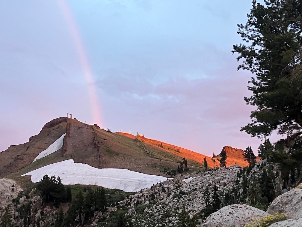
Heading south along the PCT, I stopped for the night just south of the meadow that is the headwaters of Washeshu Creek. It had been raining lightly off and on through the afternoon, but mostly cleared by sunset, with a rainbow. However, it rained lightly for several hours during the night. It is unusual for it to rain during the night in the Sierra, as most thunderstorms are afternoon and then clear by evening. In the morning, under mostly clear skies, I explored around the meadow beyond Granite Chief that is the source of Washeshu Creek.

In the morning I walked up to the top of Granite Chief (this is the full name of the peak, no peak or mountain qualifier). The rain had compacted the loose granitic soil enough that the walking was easy, despite the climb. From the top, spectacular views in all directions. I noticed a large camp in the dry meadow along the Middle Fork American River, and was curious about who and why, so I walked down the trail that I call Tevis Connector, to see what was up. The camp was for a large crew of Forest Service and California Conservation Corps (CCC) members. I talked for a while to the trail crew foreman. The project is to reroute the Tevis Cup trail out of the boggy areas to higher up the slope. Tevis Cup is the worst trail in the Granite Chief Wilderness, and one of the worst trails I’ve been on, so I am very happy to see it being addressed. He said this is a multi-year project. The project is based out of the American River Ranger District of Tahoe National Forest (Foresthill), which this area is on, though in the past the management of the wilderness has been the responsibility of the Truckee Ranger District.
This is the first trail crew I have noticed in the Granite Chief since 2009. The Forest Service has largely stopped doing routine trail maintenance, so trails, not just here, are declining rapidly. So I am glad to see the work being started, and glad that they picked the worst of the trails to address.
I found an old WS Trail sign along the Tevis Connector trail. The alignment of the Western States has changed many times over the years. The trail down PIcayune Valley is now the named route. I had found another sign years ago, but have not been able to find it again, so I presume someone took it as a souvenir. I have found these signs at a few obscure locations all the way from Galena Creek on the Nevada side to the Mosquito Ridge road.
I left the PCT to walk up to Little Needle Lake. This old trail is easier to follow now as the trail crew did some light work on it. From the lake (pond), I went up onto the ridge, which is a steep climb but not too hard, and headed south along the ridge. Some parts of the ridge show a vague use trail, some parts to do. The ridge is centrally located in the wilderness and therefore has some of the best views. I rejoined the Western States Trail near the saddle at the head of Picayune Valley, and headed down into the valley to my favorite campsite area.
Again, there were thunderstorms in the afternoon, which cleared, and then hours of light rain during the night.
I walked down to the junction with Middle Fork American River, exploring along the way, finding some old trails, and waterfalls along the creek, and visiting the reflecting pond near the Middle Fork – Picayune junction. Flowers are very thick in the wet meadow areas along the trail, with mountain larkspur more common than most years. Hundreds of hummingbird moths (white-lined sphinx moth Hyles lineata) were nectaring on the larkspur. In the wet areas, the growth is so lush it completely obscures the trail, and one has to feel the tread with your feet. Which has its risks, at it can conceal step ups and holes and branches and down trees and standing water.
I found several waterfalls that I did not know existed. Travel along the creek is difficult to impossible, but there are many opportunities to drop down to the creek. I was of course also in search of the petroglyph panels, but again, did not find them. The success in finding them is about one-third, even though I have a clear picture in my mind of the setting.

The second night in Picayune was very similar, afternoon thunderstorms and then light rain during the early night.
I headed up out of Picayune Valley the next day, and ran into other people. Todd is a horseman who volunteers to cut trees on trails that otherwise are not getting any maintenance. We talked for a while about the history of some of the trails. Also met two backpackers from Grass Valley, and we were surprised to see each other. I was the first they had seen on their trip, and they were the first I’d seen, other than the trail crew. They had come in Greyhorse, and said the trail was very hard to find. I had done some spot brushing on this trail not too long ago (but can’t locate the date), but those areas may have brushed in again, and maybe been joined by other areas. They had come to the saddle from the Shanks Cove trail northern section, and said it was better though still had snow patches.
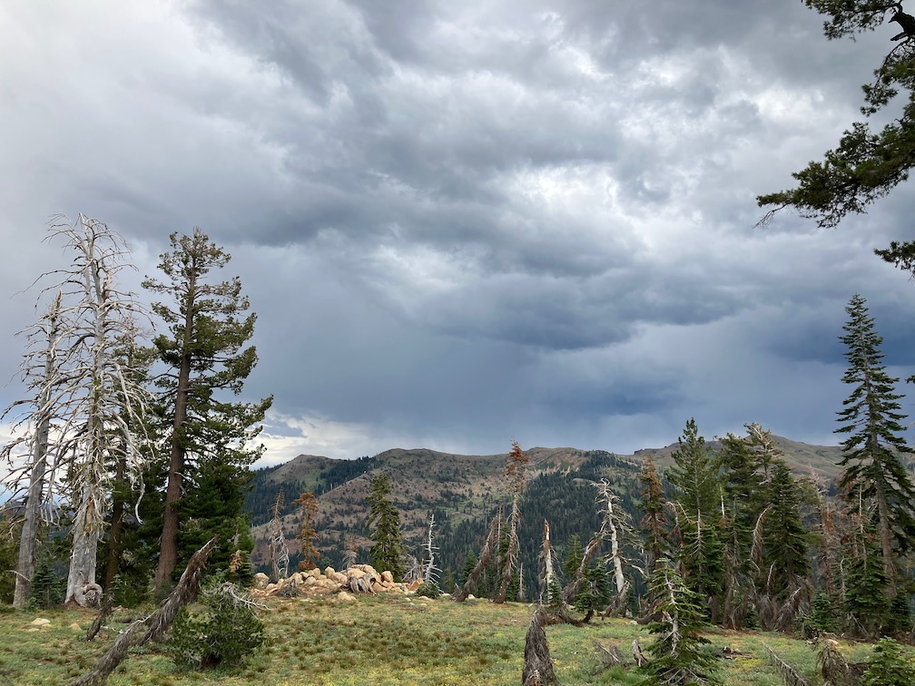
I headed towards camp at Whiskey Creek Camp, and as I came down from the ridge, the skies southeast were darkening to black, the main crest completely obscured. With just brief showers, I made it almost all the way, but then the skies opened. It rained hard for 30 minutes, and by hard, I mean visibility was about 50 feet. I partly sheltered under a leaning red fir. This is the most intense thunderstorm I have ever experienced in this wilderness. Perhaps more in the Carson Range, and certainly more in the desert southwest, but not here. After the storm I proceeded to camp and set up my tent. That is the point at which I discovered that my tent footprint and bottom are no longer waterproof. There was standing water everywhere, and it soaked through. I fortunately have a water resistant down sleeping bag, so was able to stay warm through the night, but everything was wet. And it rained again for three of hours during the night.

At dawn, the sky was dark with clouds, and I assumed, correctly, that the sun was not going to come out, so I hiked out to Alpine Meadows trailhead, walked to Olympic Valley, caught the TART bus to Truckee, and the Amtrak bus home.
I do not know whether all the rain I experienced was part of the Hilary storm. Maybe not, because it didn’t really hit northern California until Sunday. I do know that different weather apps gave very different forecasts for those days. Accuweather was the most accurate.
Trail conditions:
- Granite Chief Trail: Good condition, down trees already cut, very little brush.
- PCT from Granite Chief Trail to Tevis Connection Trail: Good condition, one down tree, very little brush. Note that I did not hike the PCT from Tevis Connection Trail to Whiskey Creek Camp Trail, so nothing to report.
- Western States Trail, Middle Fork American River to Whiskey Creek Camp: Many trees down, all easy to step over or bypass for hikers, but one tree on the switchbacks that probably cannot be safely passed by equestrians. Some areas need brushing, particularly towards Whiskey Creek Camp where the whitethorn is growing like crazy.
- Five Lakes Trail: Good condition, very little brush.
- Photos on Flickr: https://www.flickr.com/photos/allisondan/albums/72177720310754255
- Granite Chief collection on Flickr: https://www.flickr.com/photos/allisondan/collections/72157637640215275
- Granite Chief map on GaiaGPS: https://tinyurl.com/GaiaGPS-GraniteChief
